Site Select

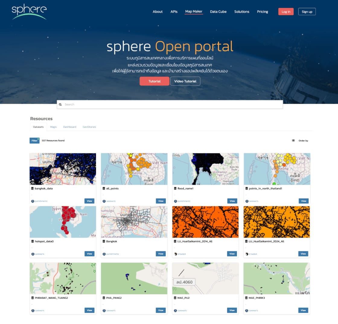
Opensource Geodata Portal
Build and consolidate scattered spatial data within your organization — such as SHP, TIFF, CSV, Spreadsheets files — into a centralized Geodata Portal. This system allows everyone in the organization to access, view, analyze, and create dashboards, or even develop web applications. Using Opensource technology gives you freedom, avoids vendor lock-in and eliminates license costs.
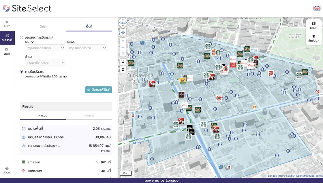
SiteSelect
A revolutionary platform for location search and analysis, designed to help businesses identify optimal sites using cutting-edge technologies: Location Intelligence (LI), Geographic Information Systems (GIS), and Artificial Intelligence (AI). This platform enables businesses to thoroughly and accurately assess the suitability of potential store locations with powerful tools, such as:
-
Population data
-
15-minute travel-time catchment areas
-
Competitor store locations
-
Income distribution by area
-
Location comparison and benchmarking tools